
Berryhill topographic map
Click on the map to display elevation.
About this map
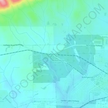
Name: Berryhill topographic map, elevation, terrain.
Location: Berryhill, Rome, Floyd County, Georgia, 30165, United States (34.27593 -85.28940 34.31593 -85.24940)
Average elevation: 207 m
Minimum elevation: 182 m
Maximum elevation: 363 m