
Firuz Kuh topographic map
Interactive map
Click on the map to display elevation.
About this map
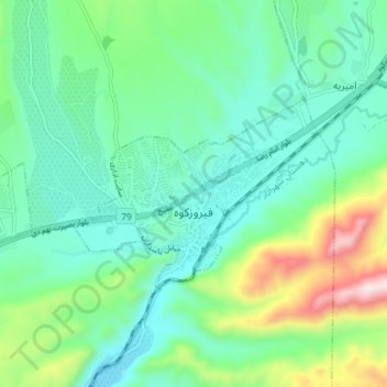
Name: Firuz Kuh topographic map, elevation, terrain.
Location: Firuz Kuh, بخش مرکزی فیروزکوه, شهرستان فیروزکوه, Téhéran, Iran (35.74406 52.72425 35.77270 52.79647)
Average elevation: 2,040 m
Minimum elevation: 1,889 m
Maximum elevation: 2,488 m