Geolocate

Tumpa topographic map

Click on the map to display elevation.

About this map

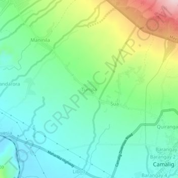
Name: Tumpa topographic map, elevation, terrain.

Location: Tumpa, Albay, Bicol Region, 4502, Philippines (13.17839 123.61803 13.21839 123.65803)

Average elevation: 183 m

Minimum elevation: 88 m

Maximum elevation: 406 m

Gear up for your next adventure:

🧥Packable Rain Jacket - Breathable waterproof layer for unpredictable weather
🛁Quick-Dry Microfiber Towel - Space-saving towel that dries rapidly on the move
🧭GPS Handheld Device - Reliable GPS navigation for outdoor adventures
💡Portable Camping Lamp - Rechargeable lamp for campsite lighting
Bushcraft Tarp - Versatile emergency shelter or gear protection

As an Amazon Associate, this site earns from qualifying purchases at no extra cost to you.