Geolocate

A Graña topographic map

Click on the map to display elevation.

About this map

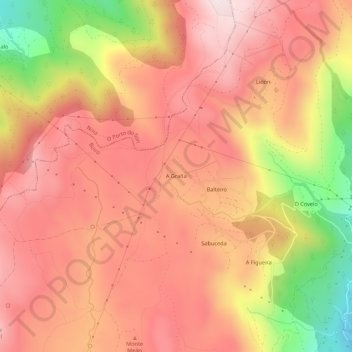
Name: A Graña topographic map, elevation, terrain.

Location: A Graña, Cures, Boiro, Barbanza, La Coruña, Galicia, España (42.68065 -8.94942 42.72065 -8.90942)

Average elevation: 480 m

Minimum elevation: 118 m

Maximum elevation: 680 m

Gear up for your next adventure:

💧Hydration Bladder - Hands-free hydration solution for long treks
🧦Hiking Liner Socks - Thin base layer to prevent friction and blisters
🐕Hiking Dog Pack - Let your canine companion carry their own water and food
🥾Hiking Boots - Sturdy boots providing ankle support and traction on rugged trails
🧰Emergency Multi-Tool - Compact multi-tool for outdoor survival

As an Amazon Associate, this site earns from qualifying purchases at no extra cost to you.