Geolocate

Ventaroli topographic map

Click on the map to display elevation.

About this map

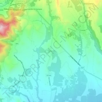
Name: Ventaroli topographic map, elevation, terrain.

Location: Ventaroli, Carinola, Caserta, Campania, Italy (41.19225 13.96552 41.23225 14.00552)

Average elevation: 156 m

Minimum elevation: 68 m

Maximum elevation: 422 m

Gear up for your next adventure:

🛶Kayak Dry Bag - Waterproof storage for kayaking adventures
Backpacking Tent - Lightweight tent for long-distance hiking trips
👟Leg Gaiters - Keep debris, mud, and snow out of your boots
🧥Waterproof Pants - Keep dry during rainy hiking conditions
🏃Hydration Running Vest - Carry water and maps close to your body for speed

As an Amazon Associate, this site earns from qualifying purchases at no extra cost to you.