Geolocate

Chalchal topographic map

Click on the map to display elevation.

About this map

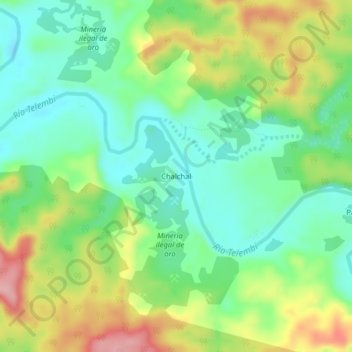
Name: Chalchal topographic map, elevation, terrain.

Location: Chalchal, Barbacoas, Telembí, Nariño, RAP Pacífico, Colombia (1.65144 -78.06493 1.69144 -78.02493)

Average elevation: 78 m

Minimum elevation: 21 m

Maximum elevation: 174 m

Gear up for your next adventure:

🔋Solar Power Bank - Keep your GPS and devices charged during long outdoor trips
🔭Compact Monocular - One-handed bird watching and trail spotting
🌬️Windproof Camp Stove - Efficient cooking even on exposed mountain peaks
🎒Backpack Rain Cover - External shield to keep your entire pack dry
Camping Coffee Maker - Brew fresh coffee anywhere on the topographic map

As an Amazon Associate, this site earns from qualifying purchases at no extra cost to you.