Geolocate

Telegraph Estates topographic map

Click on the map to display elevation.

About this map

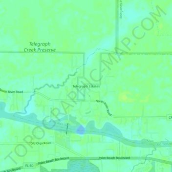
Name: Telegraph Estates topographic map, elevation, terrain.

Location: Telegraph Estates, Alva, Lee County, Florida, United States (26.71201 -81.70814 26.75201 -81.66814)

Average elevation: 6 m

Minimum elevation: -7 m

Maximum elevation: 10 m

Gear up for your next adventure:

🥾Approach Boots - Comfortable boots for hiking and climbing approaches
🏕️Camping Hammock - Integrated protection for sleeping between trees
👟Leg Gaiters - Keep debris, mud, and snow out of your boots
🛏️Sleeping Bag - Warm and compact sleeping bags for outdoor camping
❄️Traction Ice Cleats - Slip-on spikes for icy trails and winter hiking

As an Amazon Associate, this site earns from qualifying purchases at no extra cost to you.