
Yerupajá topographic map
Interactive map
Click on the map to display elevation.
About this map
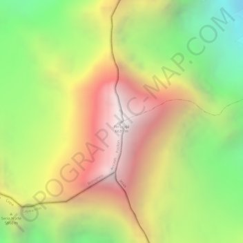
Name: Yerupajá topographic map, elevation, terrain.
Location: Yerupajá, Pacllón, Bolognesi, Ancash, Peru (-10.26867 -76.90561 -10.26857 -76.90551)
Average elevation: 5,637 m
Minimum elevation: 4,698 m
Maximum elevation: 6,506 m