
Provincia Atahuallpa topographic map
Interactive map
Click on the map to display elevation.
About this map
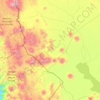
Name: Provincia Atahuallpa topographic map, elevation, terrain.
Location: Provincia Atahuallpa, Oruro, Bolivia (-19.64000 -69.22333 -18.36000 -67.94333)
Average elevation: 3,978 m
Minimum elevation: 2,890 m
Maximum elevation: 6,055 m
Other topographic maps
Click on a map to view its topography, its elevation and its terrain.