
New Lebanon topographic map
Click on the map to display elevation.
About this map
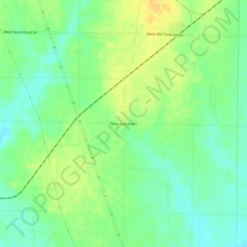
Name: New Lebanon topographic map, elevation, terrain.
Location: New Lebanon, Sullivan County, Indiana, United States (39.02088 -87.49113 39.06088 -87.45113)
Average elevation: 154 m
Minimum elevation: 141 m
Maximum elevation: 169 m
Other topographic maps
Click on a map to view its topography, its elevation and its terrain.
Hymera
United States > Indiana > Sullivan County
According to the 2010 census, Hymera has a total area of 0.71 square miles (1.84 km2), all land. It is part of the Terre Haute Metropolitan Statistical Area. The primary coordinate point for Hymera is located at latitude 39.1859 and longitude -87.2989 in Sullivan County. Sullivan County is in the Eastern time…
Average elevation: 157 m