
Tonto National Forest topographic map
Interactive map
Click on the map to display elevation.
About this map
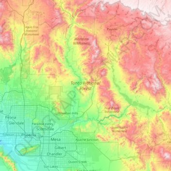
Name: Tonto National Forest topographic map, elevation, terrain.
Average elevation: 1,078 m
Minimum elevation: 297 m
Maximum elevation: 2,449 m