
O Furco topographic map
Interactive map
Click on the map to display elevation.
About this map
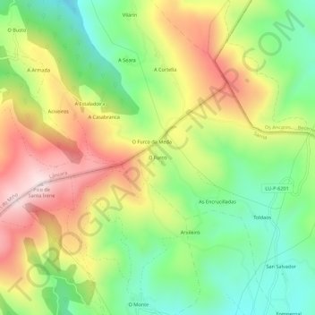
Name: O Furco topographic map, elevation, terrain.
Location: O Furco, Lugo, Galicia, 27639, España (42.77769 -7.26057 42.81769 -7.22057)
Average elevation: 921 m
Minimum elevation: 699 m
Maximum elevation: 1,202 m