
Nanpara topographic map
Click on the map to display elevation.
About this map
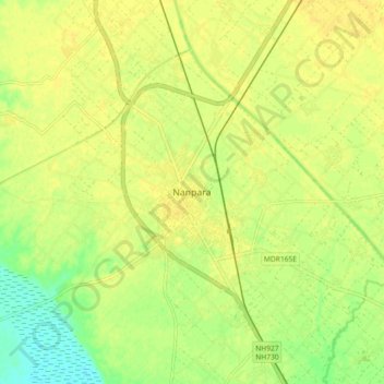
Name: Nanpara topographic map, elevation, terrain.
Location: Nanpara, Bahraich District, Uttar Pradesh, 271865, India (27.82840 81.46390 27.90840 81.54390)
Average elevation: 135 m
Minimum elevation: 120 m
Maximum elevation: 141 m