Geolocate

Diggs topographic map

Click on the map to display elevation.

About this map

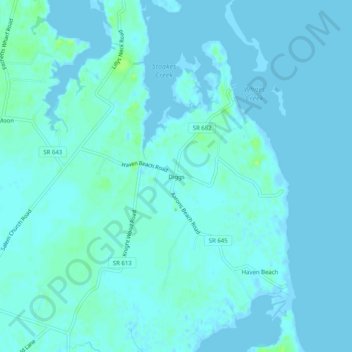
Name: Diggs topographic map, elevation, terrain.

Location: Diggs, Mathews County, Virginia, 23045, United States (37.41708 -76.28827 37.45708 -76.24827)

Average elevation: 2 m

Minimum elevation: -6 m

Maximum elevation: 11 m

Other topographic maps

Click on a map to view its topography, its elevation and its terrain.

Gear up for your next adventure:

🛏️Camping Sleeping Mat - Comfortable mats for sleeping outdoors
🪑Insulated Seat Pad - Protect your seat from cold rocks and wet logs
🥾Waterproof Hiking Shoes - Durable shoes for wet and rugged trails
🦶Anti-Blister Balm - Prevents friction and hotspots during long ascents
🥾Waterproof Hiking Boots - Essential footwear for rugged terrain and wet Canadian trails

As an Amazon Associate, this site earns from qualifying purchases at no extra cost to you.