
Río Azuer topographic map
Interactive map
Click on the map to display elevation.
About this map
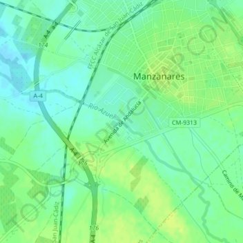
Name: Río Azuer topographic map, elevation, terrain.
Average elevation: 660 m
Minimum elevation: 652 m
Maximum elevation: 668 m
Other topographic maps
Click on a map to view its topography, its elevation and its terrain.
Las Tres Chimeneas
España > Castilla-La Mancha > Manzanares
Las Tres Chimeneas, Manzanares, Ciudad Real, Castilla-La Mancha, España
Average elevation: 668 m