Geolocate

Mohali topographic map

Click on the map to display elevation.

About this map

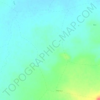
Name: Mohali topographic map, elevation, terrain.

Location: Mohali, Shahgarh Tahsil, Sagar District, Madhya Pradesh, India (24.13273 78.97213 24.15519 78.98822)

Average elevation: 487 m

Minimum elevation: 472 m

Maximum elevation: 530 m

Gear up for your next adventure:

💧Filtered Water Bottle - Safe drinking water on the go
🧭GPS Tracker - Track your location in remote areas safely
💡Solar Camping Lamp - Eco-friendly lighting for campsites
🧴Waterproofing Spray - Restore the DWR coating on jackets and tents
🧥Softshell Hiking Jacket - The perfect balance of wind protection and breathability

As an Amazon Associate, this site earns from qualifying purchases at no extra cost to you.