
Tongatapu topographic map
Interactive map
Click on the map to display elevation.
About this map
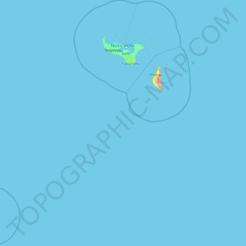
Name: Tongatapu topographic map, elevation, terrain.
Location: Tongatapu, Tonga (-22.54908 -176.43377 -20.81311 -174.76109)
Average elevation: 0 m
Minimum elevation: 0 m
Maximum elevation: 299 m
Other topographic maps
Click on a map to view its topography, its elevation and its terrain.
Vavaʻu ʻUta
Vavaʻu ʻUta, Longomapu, Vahe Hihifo, Vavaʻu, Tonga
Average elevation: 21 m