Geolocate

Oberfladungen topographic map

Click on the map to display elevation.
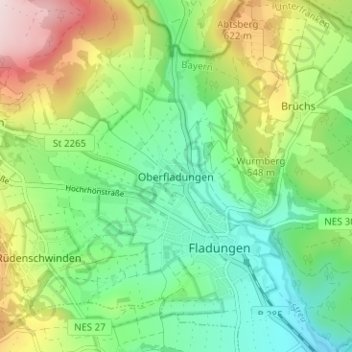
About this map

Name: Oberfladungen topographic map, elevation, terrain.

Location: Oberfladungen, Fladungen, Fladungen (VGem), Landkreis Rhön-Grabfeld, Bayern, 97650, Deutschland (50.50911 10.11803 50.54911 10.15803)

Average elevation: 499 m

Minimum elevation: 373 m

Maximum elevation: 737 m

Other topographic maps

Click on a map to view its topography, its elevation and its terrain.

Gear up for your next adventure:

Camping Essentials - All-in-one gear for a comfortable camping trip
🚑Survival Whistle - Signal for help across long distances in mountains
🛶Waterproof Dry Bags - Keep electronics and clothes dry during river crossings
🍽️Titanium Camping Spork - Ultralight and indestructible eating utensil
💧Reusable Water Bottle - Durable water bottles for hydration on trails

As an Amazon Associate, this site earns from qualifying purchases at no extra cost to you.