Geolocate

Cores topographic map

Click on the map to display elevation.

About this map

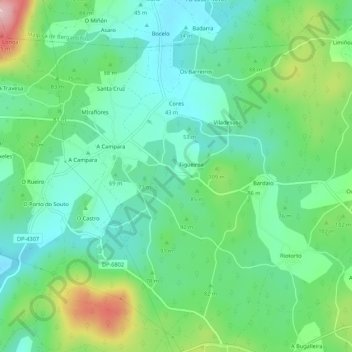
Name: Cores topographic map, elevation, terrain.

Location: Cores, Ponteceso, Bergantiños, La Coruña, Galicia, España (43.25896 -8.88160 43.29489 -8.82765)

Average elevation: 76 m

Minimum elevation: 17 m

Maximum elevation: 219 m

Other topographic maps

Click on a map to view its topography, its elevation and its terrain.

Xornes

España > Galicia > Bergantiños > Ponteceso

Average elevation: 140 m

Gear up for your next adventure:

🦟Insect Repellent - Keep mosquitoes and black flies away in wooded areas
🕶️Polarized Sunglasses - Protect your eyes with durable polarized lenses
🥾Trail Hiking Boots - Supportive boots for rough trails
🛏️Sleeping Bag - Warm and compact sleeping bags for outdoor camping
🧦Merino Wool Socks - Moisture-wicking comfort for long-distance hiking

As an Amazon Associate, this site earns from qualifying purchases at no extra cost to you.