Geolocate

Amoret topographic map

Click on the map to display elevation.

About this map

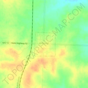
Name: Amoret topographic map, elevation, terrain.

Location: Amoret, Bates County, Missouri, United States (38.25135 -94.59152 38.25872 -94.58325)

Average elevation: 256 m

Minimum elevation: 236 m

Maximum elevation: 270 m

Gear up for your next adventure:

🥾Hiking Gaiters - Protect legs and shoes from mud, snow, and debris
🔦LED Flashlight - Powerful and long-lasting flashlight for camping and emergencies
🧥Fleece Jacket - Warm and lightweight jacket for layering
🌬️Windproof Camp Stove - Efficient cooking even on exposed mountain peaks
🧢Hiking Sun Hat - Wide-brimmed protection for exposed mountain ridges

As an Amazon Associate, this site earns from qualifying purchases at no extra cost to you.