Geolocate

Lodhasuli topographic map

Click on the map to display elevation.

About this map

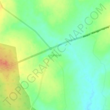
Name: Lodhasuli topographic map, elevation, terrain.

Location: Lodhasuli, Jhargram, West Bengal, India (22.31628 87.02925 22.35628 87.06925)

Average elevation: 70 m

Minimum elevation: 51 m

Maximum elevation: 94 m

Gear up for your next adventure:

🚲MTB Frame Bag - Carry tools and maps directly on your bicycle frame
🧦Merino Wool Socks - Moisture-wicking comfort for long-distance hiking
🥾Hiking Boots - Sturdy boots providing ankle support and traction on rugged trails
🗺️Topographic Maps - Detailed maps to explore trails, mountains, and wilderness areas
🛶Kayak Accessories - Essential gear for safe and fun kayaking adventures

As an Amazon Associate, this site earns from qualifying purchases at no extra cost to you.