Geolocate

Mansa topographic map

Click on the map to display elevation.

Mansa

Mansa is located at 23.43°N 72.67°E. It has an average elevation of 94 metres (308 feet).

Wikipedia (CC-BY-SA 3.0)

About this map

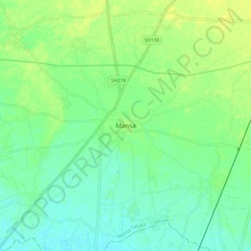
Name: Mansa topographic map, elevation, terrain.

Location: Mansa, Mansa Taluka, Gandhinagar, Gujarat, 382845, India (23.38510 72.61830 23.46510 72.69830)

Average elevation: 104 m

Minimum elevation: 96 m

Maximum elevation: 112 m

Gear up for your next adventure:

Family Camping Tent - Spacious tent suitable for family camping trips
🧥Waterproof Pants - Keep dry during rainy hiking conditions
🧊Insulated Water Bottle - Keeps drinks cold in summer and prevents freezing in winter
🔦LED Headtorch - Bright and durable light for night activities
🚲MTB Frame Bag - Carry tools and maps directly on your bicycle frame

As an Amazon Associate, this site earns from qualifying purchases at no extra cost to you.