Geolocate

Tagbayagan topographic map

Click on the map to display elevation.

About this map

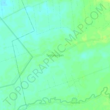
Name: Tagbayagan topographic map, elevation, terrain.

Location: Tagbayagan, Rosario, Agusan del Sur, Caraga, 8504, Philippines (8.34866 125.94948 8.38866 125.98948)

Average elevation: 22 m

Minimum elevation: 15 m

Maximum elevation: 30 m

Other topographic maps

Click on a map to view its topography, its elevation and its terrain.

Solibao River

Philippines > Agusan del Sur > Rosario

Average elevation: 24 m

Gear up for your next adventure:

🎒Backpack Rain Cover - External shield to keep your entire pack dry
🔦LED Headlamp - Hands-free lighting for early morning starts or late finishes
🧢Sun Protection Cap - Breathable cap to protect from sun exposure
🧢Hiking Sun Hat - Wide-brimmed protection for exposed mountain ridges
🧢Beanie Hat - Keep your head warm in cold weather

As an Amazon Associate, this site earns from qualifying purchases at no extra cost to you.