Geolocate

Mount Talbert topographic map

Click on the map to display elevation.

Mount Talbert

Mount Talbert is a volcanic cinder cone in Clackamas County, Oregon. It is part of the Boring Lava Field, a zone of ancient volcanic activity in the area around Portland. Its summit rises to an elevation of 740+ ft (230+ m).

Wikipedia (CC-BY-SA 3.0)

About this map

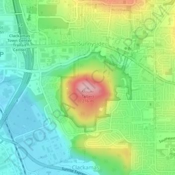
Name: Mount Talbert topographic map, elevation, terrain.

Location: Mount Talbert, Happy Valley, Clackamas County, Oregon, 97015, United States (45.42688 -122.55282 45.42698 -122.55272)

Average elevation: 96 m

Minimum elevation: 29 m

Maximum elevation: 223 m

Gear up for your next adventure:

🧼Biodegradable Camp Soap - Environmentally friendly cleaning for gear and body
🐕Hiking Dog Pack - Let your canine companion carry their own water and food
Camping Groundsheet - Protect your tent from moisture and dirt
🧥Fleece Jacket - Warm and lightweight jacket for layering
🏕️Camping Hammock - Integrated protection for sleeping between trees

As an Amazon Associate, this site earns from qualifying purchases at no extra cost to you.