
Baker Island topographic map
Interactive map
Click on the map to display elevation.
About this map
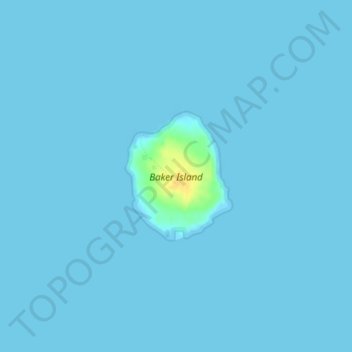
Name: Baker Island topographic map, elevation, terrain.
Average elevation: 1 m
Minimum elevation: -1 m
Maximum elevation: 25 m
Other topographic maps
Click on a map to view its topography, its elevation and its terrain.
Islesford
United States > Maine > Hancock County > Cranberry Isles
Islesford, Cranberry Isles, Hancock County, Maine, 04646, United States
Average elevation: 1 m