
Fremont topographic map
Click on the map to display elevation.
About this map
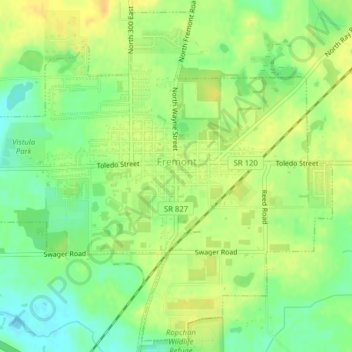
Name: Fremont topographic map, elevation, terrain.
Location: Fremont, Steuben County, Indiana, 46737, United States (41.71598 -84.95466 41.74336 -84.91536)
Average elevation: 320 m
Minimum elevation: 304 m
Maximum elevation: 333 m
Other topographic maps
Click on a map to view its topography, its elevation and its terrain.