
Donets topographic map
Click on the map to display elevation.
Donets
The Donets originates on the Central Russian Upland, near Podolkhi village, Prokhorovka area, north of Belgorod, at an elevation of 200 m (660 ft) above sea level. Its basin contains over 3000 rivers, of which 425 are longer than 10 km (6.2 mi) and 11 are longer than 100 km (62 mi); 1011 of those rivers directly flow into the Donets. These rivers are mostly fed by melting snow, and thus the water supply is uneven during the year. The spring flood lasts about two months, from February to April - during this period the water level rises by 3 to 8 m (9.8 to 26.2 ft). Excessive flooding is rare due to abundant artificial water reservoirs constructed along the river.
About this map
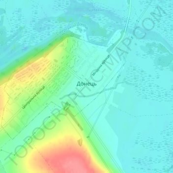
Name: Donets topographic map, elevation, terrain.
Average elevation: 93 m
Minimum elevation: 73 m
Maximum elevation: 154 m