
San Francisco Ocotlán (Ocotlán) topographic map
Interactive map
Click on the map to display elevation.
About this map
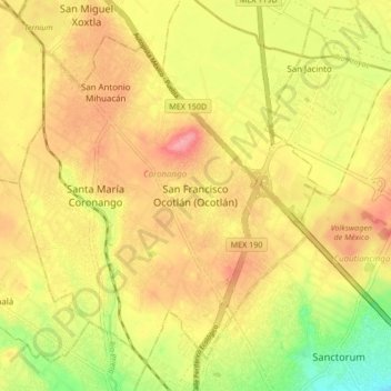
Name: San Francisco Ocotlán (Ocotlán) topographic map, elevation, terrain.
Average elevation: 2,184 m
Minimum elevation: 2,126 m
Maximum elevation: 2,227 m