
Make a donation
Gear up for your next adventure:
As an Amazon Associate, this site earns from qualifying purchases at no extra cost to you.
Looiersgracht topographic map
Click on the map to display elevation.
Make a donation
Gear up for your next adventure:
As an Amazon Associate, this site earns from qualifying purchases at no extra cost to you.
About this map
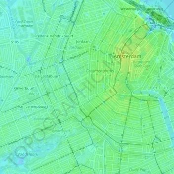
Name: Looiersgracht topographic map, elevation, terrain.
Average elevation: 7 m
Minimum elevation: -2 m
Maximum elevation: 14 m
Make a donation
Gear up for your next adventure:
As an Amazon Associate, this site earns from qualifying purchases at no extra cost to you.
Other topographic maps
Click on a map to view its topography, its elevation and its terrain.
Noord
Nederland > Noord-Holland > Amsterdam
Van moderne inzichten op het gebied van de volkshuisvesting was Van Hasselt niet op de hoogte. Dit leidde tot diverse conflicten met de directie van de gemeentelijke Bouw- en Woningdienst. Die wilde nu eens breken met bestaande praktijken in Amsterdam, zoals hoogbouw van 4 of 5 verdiepingen om arbeiders in…
Average elevation: 1 m
Make a donation
Gear up for your next adventure:
As an Amazon Associate, this site earns from qualifying purchases at no extra cost to you.