
Hampton Roads topographic map
Click on the map to display elevation.
Hampton Roads
The geology and topography of the Hampton Roads region is influenced by the Chesapeake Bay impact crater, one of three factors contributing to the sinking of Hampton Roads at a rate between 15 and 23 centimeters (5.9 and 9.1 inches) per century.
About this map
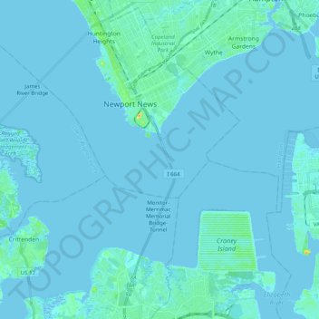
Name: Hampton Roads topographic map, elevation, terrain.
Location: Hampton Roads, Newport News, Virginia, United States (36.89637 -76.49562 37.00310 -76.29701)
Average elevation: 2 m
Minimum elevation: -4 m
Maximum elevation: 34 m