
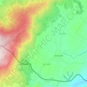
A Xironda topographic map
Interactive map
Click on the map to display elevation.
About this map
Name: A Xironda topographic map, elevation, terrain.
Location: A Xironda, Cualedro, Verín, Orense, Galicia, España (41.87964 -7.70414 41.93911 -7.61162)
Average elevation: 866 m
Minimum elevation: 575 m
Maximum elevation: 1,361 m