
Fontela topographic map
Interactive map
Click on the map to display elevation.
About this map
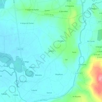
Name: Fontela topographic map, elevation, terrain.
Location: Fontela, Lugo, Galicien, 27258, Spanien (43.17566 -7.47905 43.21566 -7.43905)
Average elevation: 413 m
Minimum elevation: 392 m
Maximum elevation: 504 m