Geolocate

Cartavio topographic map

Click on the map to display elevation.

About this map

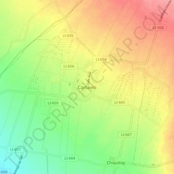
Name: Cartavio topographic map, elevation, terrain.

Location: Cartavio, Santiago de Cao, Ascope, La Libertad, Perú (-7.93261 -79.26151 -7.85261 -79.18151)

Average elevation: 56 m

Minimum elevation: 16 m

Maximum elevation: 96 m

Gear up for your next adventure:

🥾Trail Hiking Shoes - Durable shoes designed for rugged trails
👟Leg Gaiters - Keep debris, mud, and snow out of your boots
🥫Freeze-Dried Meals - Lightweight, high-calorie nutrition for multi-day treks
🧦Merino Wool Socks - Moisture-wicking comfort for long-distance hiking
🥤Collapsible Travel Cup - Saves space and weight in your mess kit

As an Amazon Associate, this site earns from qualifying purchases at no extra cost to you.