Geolocate

Sindroo topographic map

Click on the map to display elevation.

About this map

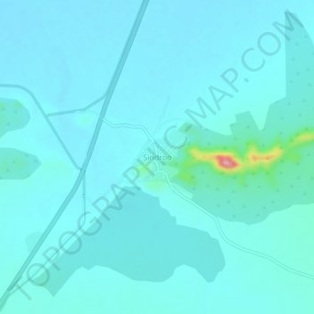
Name: Sindroo topographic map, elevation, terrain.

Location: Sindroo, Sumerpur Tehsil, Pali, Rajasthan, India (25.24424 73.14118 25.28424 73.18118)

Average elevation: 274 m

Minimum elevation: 259 m

Maximum elevation: 413 m

Other topographic maps

Click on a map to view its topography, its elevation and its terrain.

Jawai Dam

India > Rajasthan > Sumerpur Tehsil

Average elevation: 320 m

Jawai

India > Rajasthan > Sumerpur Tehsil

Average elevation: 302 m

Gear up for your next adventure:

🥾Waterproof Hiking Shoes - Durable shoes for wet and rugged trails
💧Hydration Bladder - Hands-free hydration solution for long treks
🥾Trekking Poles - Adjustable trekking poles to reduce knee stress and improve stability
🧥Packable Rain Jacket - Breathable waterproof layer for unpredictable weather
🕯️Camping Lantern - Illuminates your entire campsite with high-efficiency LEDs

As an Amazon Associate, this site earns from qualifying purchases at no extra cost to you.