Geolocate

Malabanan topographic map

Click on the map to display elevation.

About this map

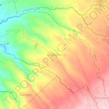
Name: Malabanan topographic map, elevation, terrain.

Location: Malabanan, Balete, Batangas, Calabarzon, 4219, Philippines (13.99386 121.10505 14.03386 121.14505)

Average elevation: 180 m

Minimum elevation: 19 m

Maximum elevation: 308 m

Gear up for your next adventure:

💡LED Camping Lantern - Illuminate your campsite with long-lasting lanterns
🥾Hiking Shoes - Durable and comfortable shoes for trail hiking
🧥Thermal Layer - Insulating layer for cold outdoor conditions
🗺️Topographic Maps - Detailed maps to explore trails, mountains, and wilderness areas
🥘Camping Cookware Set - Compact nesting pots and pans for trail cooking

As an Amazon Associate, this site earns from qualifying purchases at no extra cost to you.