Geolocate

Hall Beach topographic map

Click on the map to display elevation.

About this map

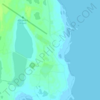
Name: Hall Beach topographic map, elevation, terrain.

Location: Hall Beach, Qikiqtaaluk Region, Nunavut, Canada (68.75345 -81.26250 68.78084 -81.20665)

Average elevation: 2 m

Minimum elevation: 0 m

Maximum elevation: 9 m

Qikiqtaaluk Region trails, hiking, mountain biking, running and outdoor activities

Gear up for your next adventure:

🧤Insulated Winter Gloves - Heavy-duty protection for sub-zero Canadian adventures
👟Trail Running Shoes - Agile footwear for fast-paced topographic exploration
🥾Mountain Hiking Shoes - Shoes with superior grip for mountainous terrain
🥾Hiking Shorts - Breathable shorts suitable for summer hikes
🛶Kayak Accessories - Essential gear for safe and fun kayaking adventures

As an Amazon Associate, this site earns from qualifying purchases at no extra cost to you.