
Lac Swell topographic map
Click on the map to display elevation.
About this map
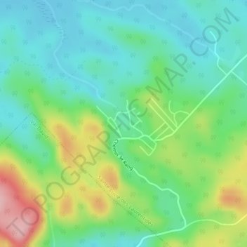
Name: Lac Swell topographic map, elevation, terrain.
Average elevation: 435 m
Minimum elevation: 383 m
Maximum elevation: 548 m
Les Laurentides trails, hiking, mountain biking, running and outdoor activities
Other topographic maps
Click on a map to view its topography, its elevation and its terrain.
Mont Kaaikop
Canada > Quebec > Les Laurentides > Sainte-Lucie-des-Laurentides
Average elevation: 620 m