
Smith County topographic map
Click on the map to display elevation.
About this map
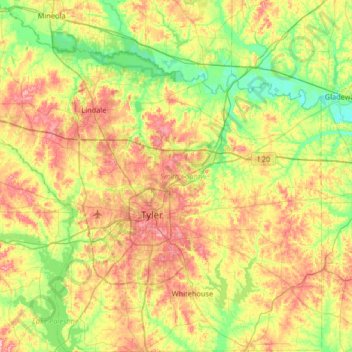
Name: Smith County topographic map, elevation, terrain.
Location: Smith County, Texas, United States (32.13507 -95.59465 32.68718 -94.98537)
Average elevation: 131 m
Minimum elevation: 78 m
Maximum elevation: 210 m
Other topographic maps
Click on a map to view its topography, its elevation and its terrain.