
Edmond topographic map
Interactive map
Click on the map to display elevation.
About this map
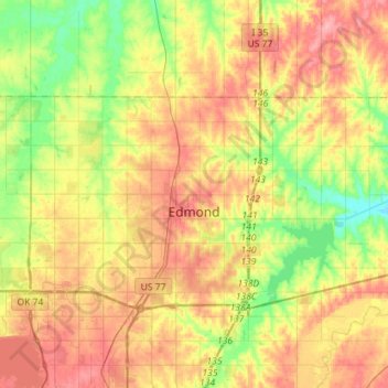
Name: Edmond topographic map, elevation, terrain.
Location: Edmond, Oklahoma County, Oklahoma, United States (35.60884 -97.54964 35.72556 -97.26488)
Average elevation: 340 m
Minimum elevation: 290 m
Maximum elevation: 391 m