
Cerro del Caballo topographic map
Interactive map
Click on the map to display elevation.
About this map
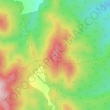
Name: Cerro del Caballo topographic map, elevation, terrain.
Location: Cerro del Caballo, Cerveruela, Zaragoza, Aragón, España (41.18991 -1.21484 41.19001 -1.21474)
Average elevation: 1,004 m
Minimum elevation: 828 m
Maximum elevation: 1,215 m