
Thank you for supporting this site ❤️
Make a donation
Make a donation
Gear up for your next adventure:
As an Amazon Associate, this site earns from qualifying purchases at no extra cost to you.
القوامة topographic map
Click on the map to display elevation.
Thank you for supporting this site ❤️
Make a donation
Make a donation
Gear up for your next adventure:
As an Amazon Associate, this site earns from qualifying purchases at no extra cost to you.
About this map
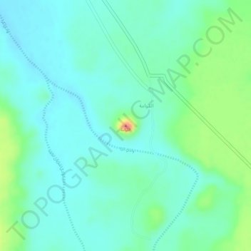
Name: القوامة topographic map, elevation, terrain.
Location: القوامة, Turubah, Makkah Region, Saudi Arabia (20.75599 41.69396 20.75609 41.69406)
Average elevation: 1,295 m
Minimum elevation: 1,276 m
Maximum elevation: 1,342 m
Thank you for supporting this site ❤️
Make a donation
Make a donation
Gear up for your next adventure:
As an Amazon Associate, this site earns from qualifying purchases at no extra cost to you.