Geolocate

Chuluota topographic map

Click on the map to display elevation.

About this map

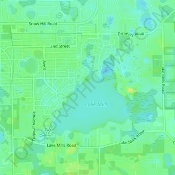
Name: Chuluota topographic map, elevation, terrain.

Location: Chuluota, Seminole County, Florida, 32766, United States (28.62805 -81.13414 28.64827 -81.10071)

Average elevation: 18 m

Minimum elevation: 9 m

Maximum elevation: 34 m

Gear up for your next adventure:

🧴First Aid Kit - Essential first aid supplies for outdoor emergencies
🥾Lightweight Hiking Boots - Boots for comfort and mobility on long hikes
🧥Fleece Jacket - Warm and lightweight jacket for layering
🛶Kayak Accessories - Essential gear for safe and fun kayaking adventures
🔭Compact Monocular - One-handed bird watching and trail spotting

As an Amazon Associate, this site earns from qualifying purchases at no extra cost to you.