Geolocate

Großer Waldstein topographic map

Click on the map to display elevation.

Großer Waldstein

Das Waldsteinhaus ist ein ganzjährig bewirtschaftetes Unterkunftshaus des Fichtelgebirgsvereins in unmittelbarer Nähe des Gipfels des Großen Waldsteins auf einer Höhe von 855 m ü. NN.

Wikipedia (CC-BY-SA 3.0)

About this map

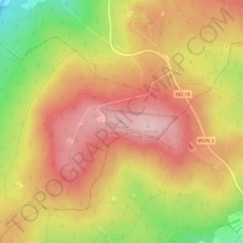
Name: Großer Waldstein topographic map, elevation, terrain.

Location: Großer Waldstein, Zell, Landkreis Hof, Bayern, 95234, Deutschland (50.12898 11.85449 50.12908 11.85459)

Average elevation: 750 m

Minimum elevation: 599 m

Maximum elevation: 849 m

Gear up for your next adventure:

🥤Collapsible Travel Cup - Saves space and weight in your mess kit
🚲Heavy Duty Bike Lock - Secure your bike at the trailhead or during stops
📷Outdoor Action Camera - Capture high-elevation views and rugged adventures
🥫Freeze-Dried Meals - Lightweight, high-calorie nutrition for multi-day treks
🛰️Satellite Messenger - Emergency communication for areas with no cell service

As an Amazon Associate, this site earns from qualifying purchases at no extra cost to you.