Geolocate

Link topographic map

Click on the map to display elevation.

About this map

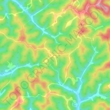
Name: Link topographic map, elevation, terrain.

Location: Link, Tyler County, West Virginia, United States (39.46453 -80.76733 39.50453 -80.72733)

Average elevation: 329 m

Minimum elevation: 253 m

Maximum elevation: 429 m

Other topographic maps

Click on a map to view its topography, its elevation and its terrain.

Gear up for your next adventure:

🥾Approach Shoes - Shoes designed for climbing approaches and rugged trails
🔭Compact Monocular - One-handed bird watching and trail spotting
💧Reusable Water Bottle - Durable water bottles for hydration on trails
🚲Heavy Duty Bike Lock - Secure your bike at the trailhead or during stops
🧦Crew Hiking Socks - Comfortable socks for long-distance hikes

As an Amazon Associate, this site earns from qualifying purchases at no extra cost to you.