
Landungsari topographic map
Interactive map
Click on the map to display elevation.
About this map
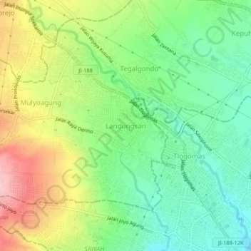
Name: Landungsari topographic map, elevation, terrain.
Location: Landungsari, Kabupaten Malang, Jawa Timur, 65144, Indonésie (-7.94459 112.57348 -7.90459 112.61348)
Average elevation: 565 m
Minimum elevation: 487 m
Maximum elevation: 687 m