Geolocate

Elephant Falls topographic map

Click on the map to display elevation.

About this map

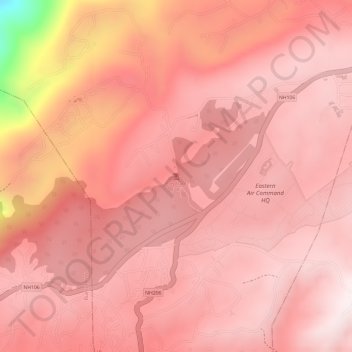
Name: Elephant Falls topographic map, elevation, terrain.

Location: Elephant Falls, Sohiong, East Khasi Hills, Meghalaya, India (25.53782 91.82201 25.53792 91.82211)

Average elevation: 1,724 m

Minimum elevation: 1,211 m

Maximum elevation: 1,834 m

Other topographic maps

Click on a map to view its topography, its elevation and its terrain.

River Umiam

India > Meghalaya > Sohiong

Average elevation: 1,440 m

Gear up for your next adventure:

🧢Sun Hat - Wide-brim hat for sun protection
🥾Approach Shoes - Shoes designed for climbing approaches and rugged trails
Family Camping Tent - Spacious tent suitable for family camping trips
🦶Hiking Shoe Insoles - Added support for high arches and long days on feet
🔭Compact Monocular - One-handed bird watching and trail spotting

As an Amazon Associate, this site earns from qualifying purchases at no extra cost to you.