Geolocate

Los Acuaches topographic map

Click on the map to display elevation.

About this map

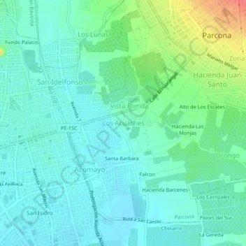
Name: Los Acuaches topographic map, elevation, terrain.

Location: Los Acuaches, Parcona, Ica, 11000, Perú (-14.08120 -75.73442 -14.04120 -75.69442)

Average elevation: 416 m

Minimum elevation: 401 m

Maximum elevation: 461 m

Gear up for your next adventure:

Backpacking Tent - Lightweight tent for long-distance hiking trips
💧Reusable Water Bottle - Durable water bottles for hydration on trails
👟Sport Hiking Sandals - Breathable footwear for water crossings and camp rest
🔭Compact Monocular - One-handed bird watching and trail spotting
🧢Beanie Hat - Keep your head warm in cold weather

As an Amazon Associate, this site earns from qualifying purchases at no extra cost to you.