Geolocate

Koonammavu topographic map

Click on the map to display elevation.

About this map

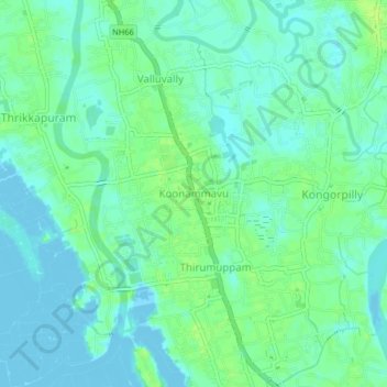
Name: Koonammavu topographic map, elevation, terrain.

Location: Koonammavu, Paravur, Ernakulam district, Kerala, 683518, India (10.08062 76.24402 10.12062 76.28402)

Average elevation: 5 m

Minimum elevation: -4 m

Maximum elevation: 12 m

Gear up for your next adventure:

🧥Softshell Hiking Jacket - The perfect balance of wind protection and breathability
🥾Light Trekking Boots - Supportive boots for multi-day treks
🧦Outdoor Socks - Durable socks designed for hiking and outdoor sports
🥾Hiking Boots - Sturdy boots providing ankle support and traction on rugged trails
🛌Insulated Sleeping Pad - Critical thermal barrier between you and the cold ground

As an Amazon Associate, this site earns from qualifying purchases at no extra cost to you.