Geolocate

Lugones topographic map

Click on the map to display elevation.

About this map

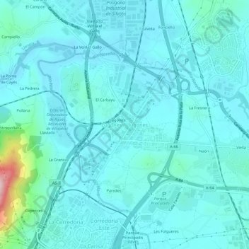
Name: Lugones topographic map, elevation, terrain.

Location: Lugones, Siero, Asturias, 33420, España (43.38277 -5.83048 43.42277 -5.79048)

Average elevation: 175 m

Minimum elevation: 142 m

Maximum elevation: 420 m

Other topographic maps

Click on a map to view its topography, its elevation and its terrain.

San Juan Arenas

España > Asturias > Siero

Average elevation: 334 m

Santiago Arenas

España > Asturias > Siero

Average elevation: 400 m

Collado

España > Asturias > Siero

Average elevation: 288 m

Gear up for your next adventure:

🌡️Emergency Mylar Blankets - Compact thermal protection for unexpected nights outdoors
🔭Compact Monocular - One-handed bird watching and trail spotting
🥾Trail Running Boots - Durable shoes designed for trail running
Tent Footprint - Protect tent floor and increase durability
🧦Thermal Socks - Warm socks for winter hiking or camping

As an Amazon Associate, this site earns from qualifying purchases at no extra cost to you.