Geolocate

California topographic map

Click on the map to display elevation.

About this map

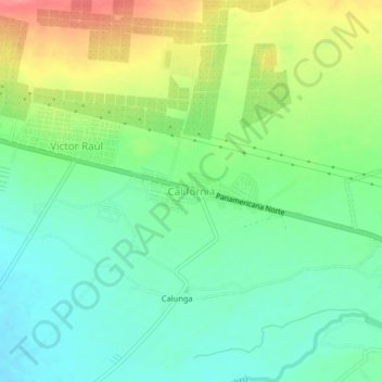
Name: California topographic map, elevation, terrain.

Location: California, Virú, Provincia de Virú, La Libertad, Perú (-8.42990 -78.83048 -8.38990 -78.79048)

Average elevation: 59 m

Minimum elevation: 28 m

Maximum elevation: 113 m

Gear up for your next adventure:

Bushcraft Tarp - Versatile emergency shelter or gear protection
🛶Kayak Dry Bag - Waterproof storage for kayaking adventures
🥾All-Terrain Hiking Boots - Versatile boots for varied hiking conditions
🛶Kayak Accessories - Essential gear for safe and fun kayaking adventures
🧊Portable Cooler - Keep food and drinks cold during outdoor adventures

As an Amazon Associate, this site earns from qualifying purchases at no extra cost to you.